According to a report in the Financial Times over the weekend, the ridesharing giant is adding half a billion dollars to a new mapping project to help free itself of Google Maps.
Many ridesharing services use the maps service to navigate the roads, but Google Maps has limited accuracy in many non-Western countries. Google has also upped the cost of the service lately, cutting into Uber’s margins.
Uber declined to comment on that sum but did issue an update on its blog from new hire Brian McClendon, an ex-Google Maps engineer responsible for creating Google Earth who will be responsible for building Uber’s new mapping system.
“The ongoing need for maps tailored to the Uber experience is why we’re doubling down on our investment in mapping,” McClendon wrote, later adding, “The street imagery captured by our mapping cars will help us improve core elements of the Uber experience, like ideal pick-up and drop-off points and the best routes for riders and drivers.”
Uber has also acquired a few mapping technologies and hired a whole bunch of Microsoft engineers to support its map work, along with forging a few partnerships with navigation system companies like TomTom and Digital Globe.
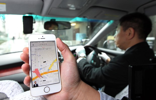
The devil, as they say, is in the details and the reliance on Google has been a pain point for riders in foreign lands. Drivers often have to call riders to ask for their exact location, only frustrating the situation by adding an unnecessary step in the process. The new project will be a boon to anyone using Uber outside the United States.
And Uber, with close to $12 billion in funding and a seemingly endless supply of investors ready to hand over more cash, can definitely afford to build and maintain its own mapping system now — one that can be tailored for ridesharing — something very handy once Uber rolls out its fleet of self-driving cars.