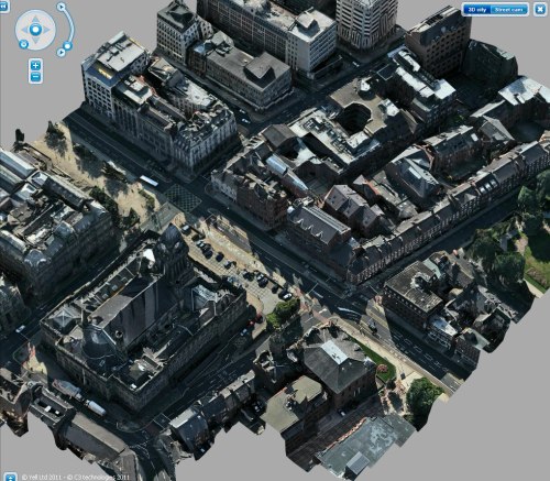
C3 isn’t the only company looking into making 3D maps and high-definition content like this. Google is, of course, aiming at mapping the whole world in 3D, though they have a different method. Microsoft’s Photosynth stuff is related, and very cool, but not quite the same thing. Just watch this video (in HD if you can) and you’ll see what I mean.

They’ve been doing it for a while now, but this most recent clip really shows what’s possible. The downside is, of course, that they have to actually get up there in the sky with their special rig to make the pictures happen. And in a place where there’s lots of construction, remodeling, and so on, it’s difficult to make those changes, where as all Google has to do is fire up Maya and make a new model.
It’s a little janky up close (reminds me of playing an RTS), but give it a shot over at Yell.com.